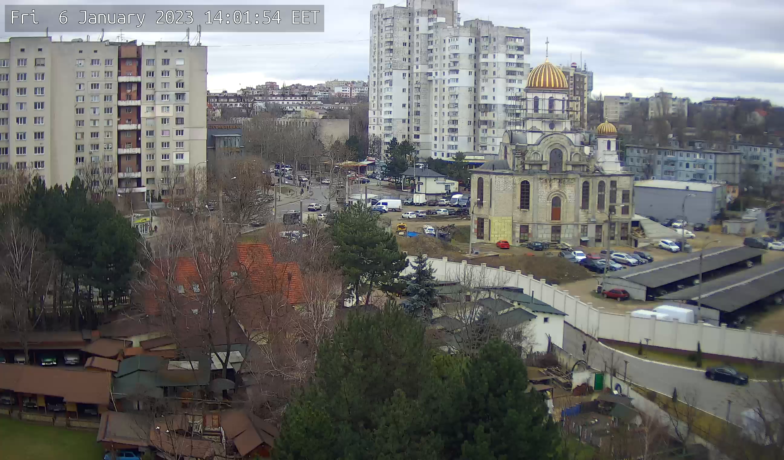
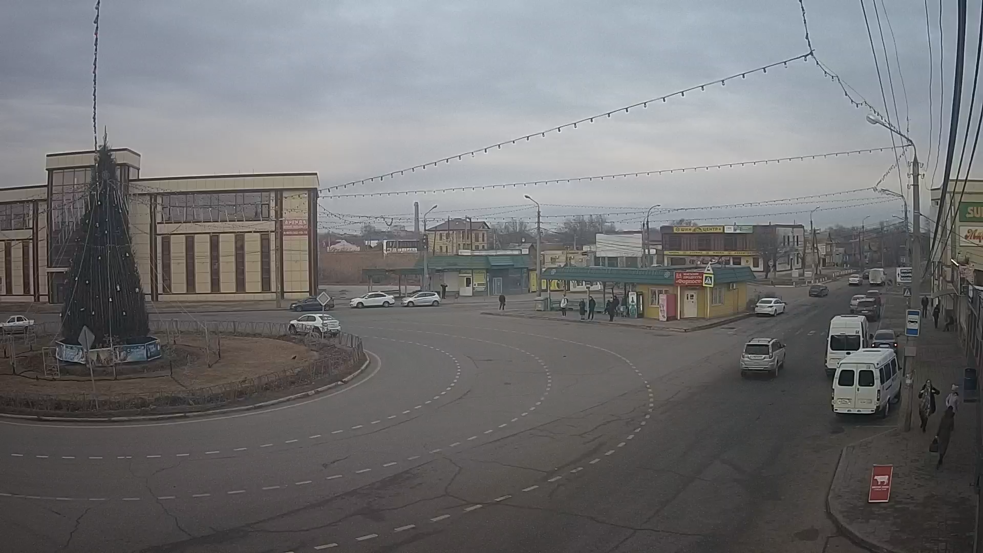
Webcam Yaroslavl. Moskovsky avenue, bridge over the Kotorosl
Moskovsky Prospect (formerly Bolshaya Moskovskaya Street) is the main transportation artery of the southern part of Yaroslavl. Moskovsky Prospect lies between Bogoyavlenskaya Square and the oil refinery and is part of the M8 "Kholmogory" highway. The houses are numbered from the bridge over the Kotorosl.
The first known name of the street is the Moscow road, which was named after the city of Moscow, in which direction it is laid. Until the XVII century the road went through the current Tropinskaya and Yamskaya Streets. In XVII century crossing of Kotorosl was moved to Spassky monastery, Bolshaya Moskovskaya road began from the new crossing and connected with the old way in Yamskaya Sloboda (near the crossroads of Yamskaya and Naumov streets). In 1693 Greater Moscow road became part of the Moscow-Arkhangelsk highway established by Peter I. At that time this road was of great trading importance, serving as almost the only way to connect the port of Arkhangelsk and the Russian North with Central Russia.
At the end of XVIII century, following other parts of the city, Yamskaya Sloboda was rebuilt according to a regular plan. Bolshaya Moskovskaya Ulitsa was straightened within the borders of the city, and was given a modern designation and began to be called Bolshaya Moskovskaya Ulitsa. It started from the crossing of the Kotorosl and ended at Tugova Hill, where the Moscow outpost was built on the border of the city.
In 1797, by decree of Paul I the construction of a military town started on Bolshaya Moskovskaya Street, which became the first regular quarter of the new street and its main compositional element.
In 1821, the first permanent bridge over the Kotorosl river was built instead of the old barque bridge, which connected Bolshaya Moskovskaya Street with the city center. In 1831-1832 at the beginning of the street, which every year flooded by the Kotorosl river floods, an earth dam was built, with a tamped-down highway bed about 1200 meters long and 13 meters wide, encased with large cobbles. To allow water to flow freely in the spring, an arch of large wild stone 12 meters high was built in the embankment. This arch was designed and built by peasant Yemelyan Orlov, and it still exists.
In 1845 was completed a highway from Moscow to Yaroslavl, part of which became Bolshaya Moskovskaya Street (that is why it was sometimes called by the common name of the road - Moscow highway or Moscow highway).
In 1869 near Moskovskaya Zastava street Yaroslavl's first railway station was built. In 1887 a branch line to Kostroma was laid through the street at the place of the gate.
In 1896-1899 during the construction of a streetcar line from Bogoyavlenskaya Square to Moskovsky station, the bridge across Kotorosl was reinforced, the dam that followed it was widened and an excavation in Tugova Hill under the branch to Kostroma was made. During excavations, a huge mammoth skeleton was discovered in the middle of the excavation. Later, in 1936 and 1962, the excavation was expanded.
In 1957, a section of highway from the Moscow station to Krivova Street was added to Bolshaya Moskovskaya Street, and in 1967 - a section from Krivova Street to Neftyanikov Street. And in the same year in October the street was renamed to Moskovsky Prospekt, "taking into account the prospective development of the Moscow street, Moskovsky highway and their importance in the formation of urban development.
In 2009-2010, major reconstruction of the avenue was carried out. The traffic along its entire length was slightly widened, and congestion during busy hours never disappeared.

