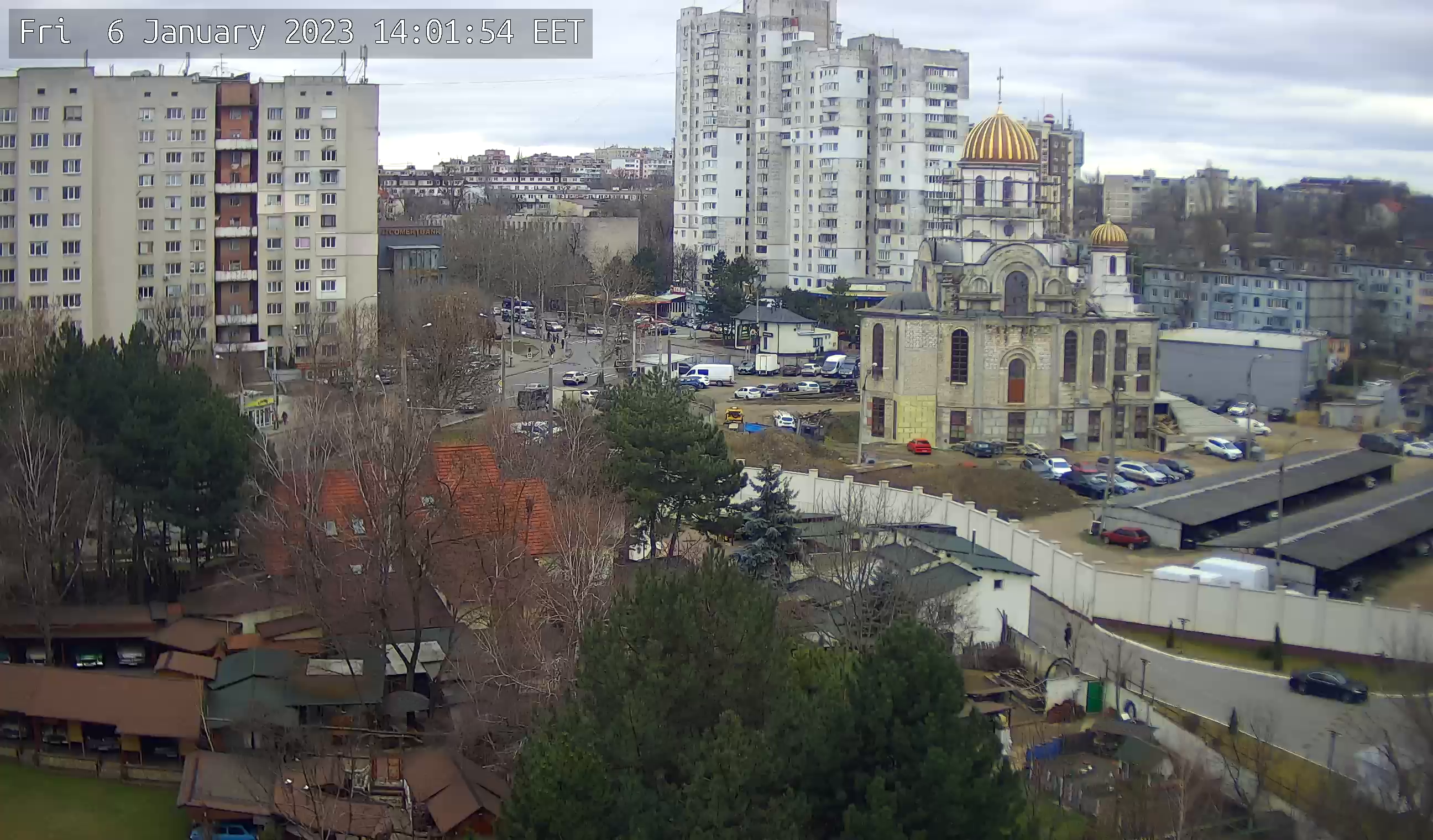
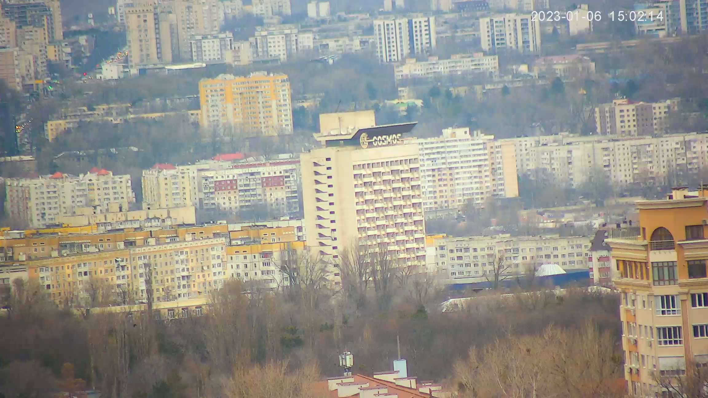
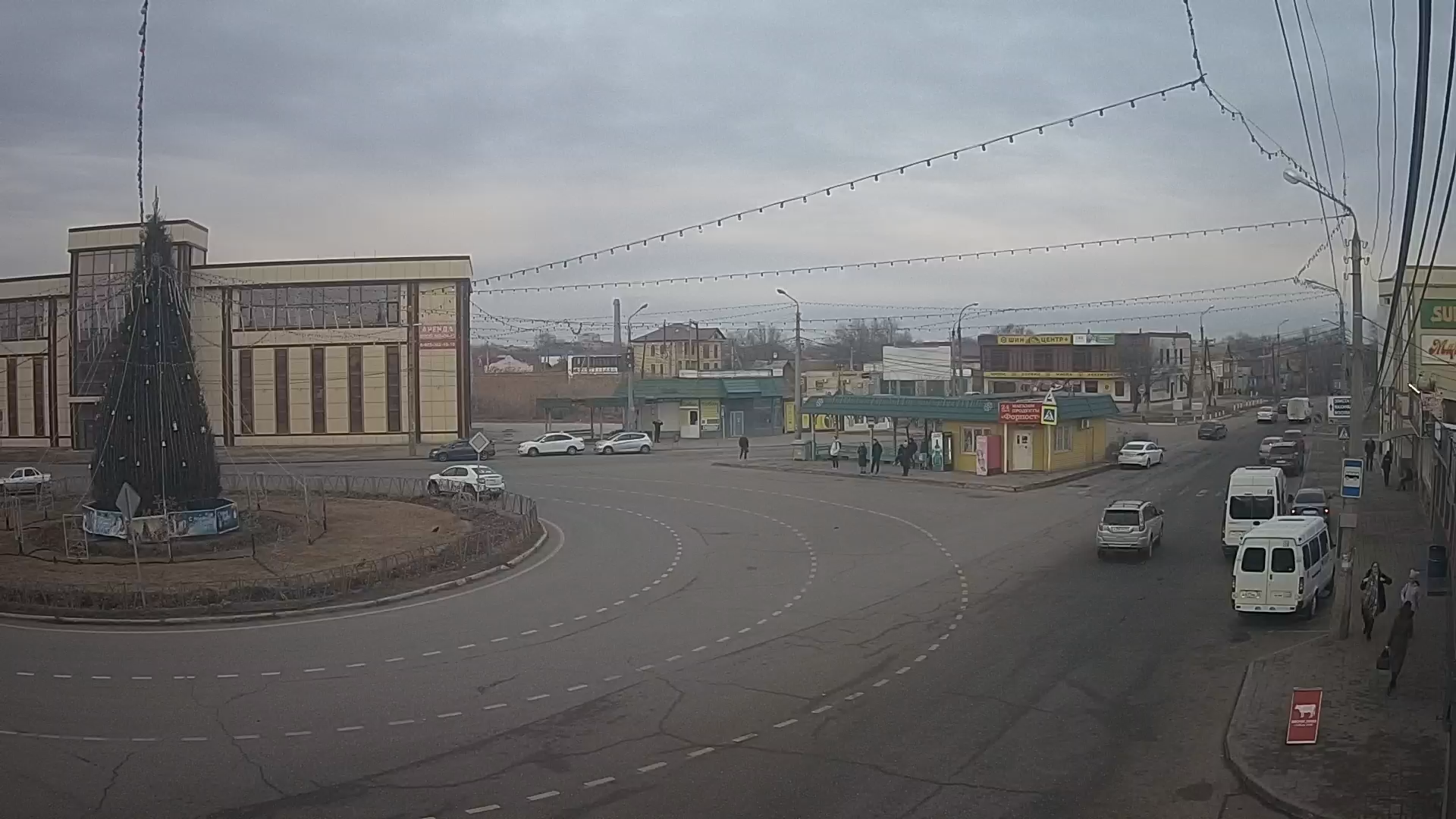
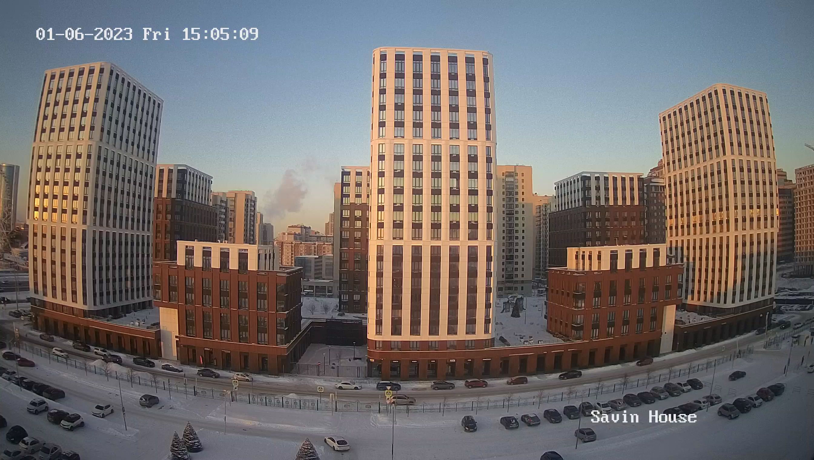
Webcam Kostomuksha. Lenin Street, Internatsionalnaya Street (Karelia)
Kostomuksha is a mining town, one of the new towns in northwest Karelia. It is located in a sparsely populated area, near the border with Finland. Its construction was made possible by the development of an iron ore deposit.
Kostomuksha is derived from the Finnish "Kostamus" (Karelian "Koštamuš" or Vepsian "Kostamukš"). In translation into Russian you can find several meanings - it is "vengeance", and "revenge", and "payback.
The territory of today's Kostomuksha belonged from the earliest times to the Kalevala land. The Lapps-Lopari used to develop this land first of all around lake Kuito, the mention of the settlement of the territory dates back to the first millennium A.D. The main trades were hunting, gathering, and fishing. Gradually the Karelian tribes began to develop this territory. The devastating invasions of the Swedes (the end of the XVI-beginning of the XVII centuries) were not spared.
The village of Kostomuksha was originally founded in these places. The city of Kostomuksha itself stands on its place and on the place of extinct village Kontokki. The earliest known written mentioning of Kostomuksha is dated 1766. But historians suppose that the village as a stable settlement appeared in XVIII century. One can meet the description of the village in Elias Lennroth, during his folklore expeditions to the Karelian villages of Northern Karelia (1837).

