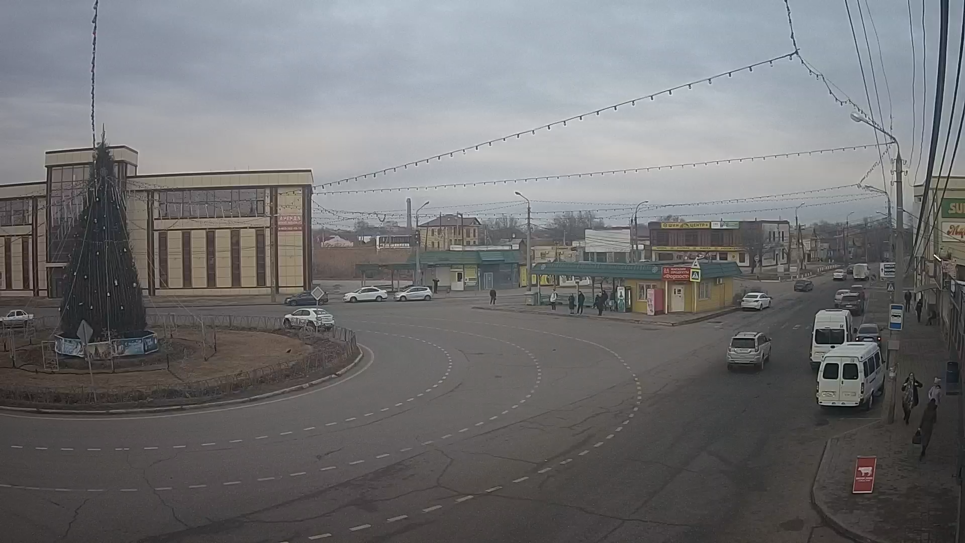
Webcam Ulyanovsk. Moskovskoe highway in real time
Moskovskoe Shosse is the main street in the Zasviyazhsky district of Ulyanovsk. It runs from northeast to southwest, from the road-tram bridge over the Sviyaga River to the ring at the intersection of A151 Ulyanovsk - Tsivilsk, R178 Saransk - Surskoye - Ulyanovsk and Ulyanovsk-Syzran.
Along the entire length of the highway is a large industrial area. The second longest street in the city after Dimitrovgrad highway.
In the middle of XVII century the territory of the present highway belonged to the Sviyazhskaya Sloboda (later Konno-Podgorodnaya Sloboda), founded by Cossacks from Sviyazhsk, where the Simbirskaya fortification line was built. Over time, along the line, was laid Moscow postal route.
In 1931, from the Moscow tract to the Sviyaga River there was an airfield of the Ulyanovsk Military Pilot School.
In 1941, the Stalin automobile plant was evacuated from Moscow to Ulyanovsk. Since that time began the formation of the Moscow highway as a street and the entire Zasviyazhsky district as part of the city of Ulyanovsk. First of all for the needs of the plant (now UAZ) here were built UTTs-1 (put into operation on January 1, 1947) and plant UZTS (1956). Construction of new industrial enterprises on the highway continued throughout the Soviet period.
In 1955, the first streetcar line was extended along the street to Avtozavod. In 1963 the line was extended to UZTS (intersection with Stankostroiteley street), in 1994 - to the clothing market. In 1967, the Zasviyazhsk streetcar depot was opened.

