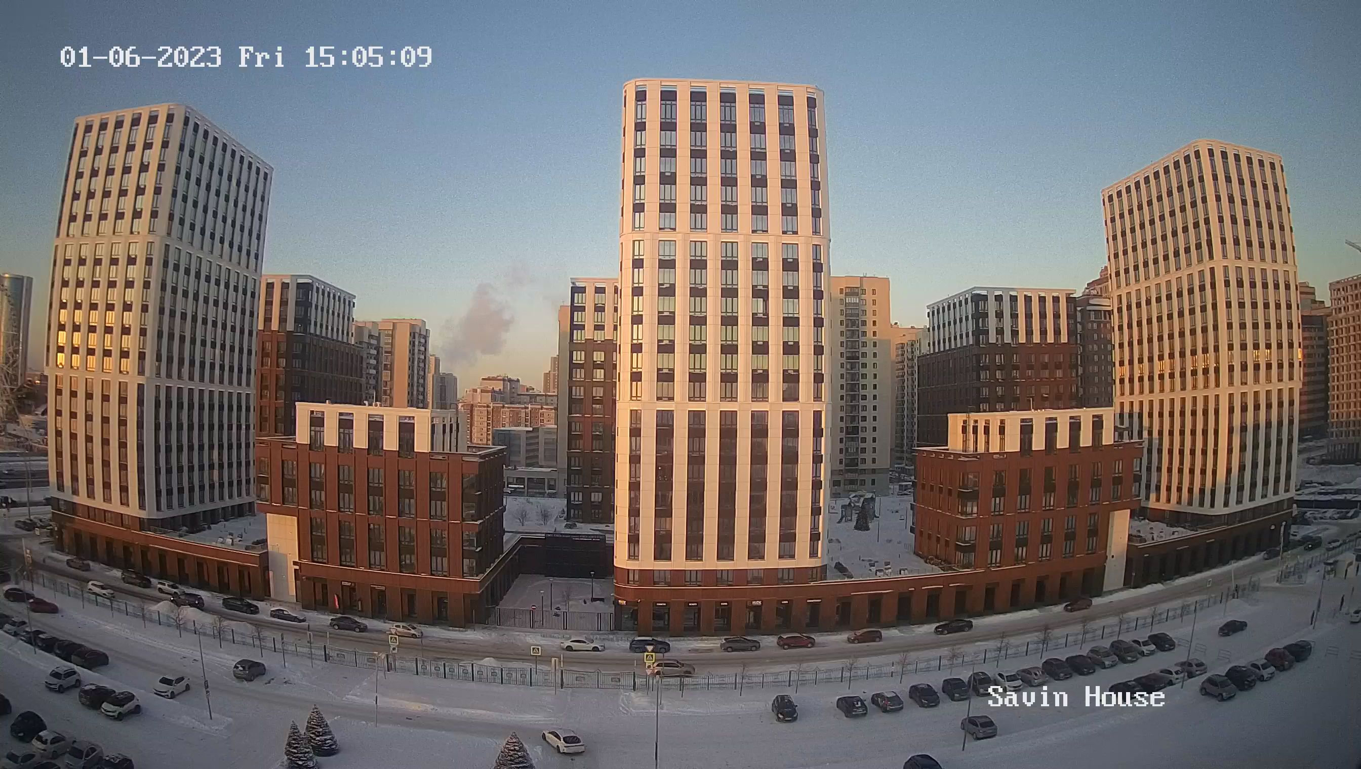
Webcam Chukovets. Panorama
The village Chukovets is located in the southeastern part of the Radomir field. The distance to Radomir is 12 km, to Dupnitsa - 18 km and to Pernik - 24 km.
Communication with the above-mentioned cities is carried out by road and rail transport Sofia-Dupnitsa, with a railway stop.
By car you can get to the highway Sofia - Kulata at the crossroads of Dolna Dikanyi and the distance to Sofia is 55 km. The village is also located at the foot of the eastern ridge of the Konya Mountain, with the highest point of Viden Peak at 1487m.
The study by Professors Hr. Gandev and R. Stojkov entitled "The Bulgarian people in the 15th century" stated: "The village Chukovca, Radomir, Sandzak - Kyustendil has: 20 (yards) widows - 7, warriors - 3, sofa - 1. The village owes - 110 akcheta bey in Radomir". These data are from the first census of the Turks in 1505 in the area of Radomir.
The village existed during the Second Bulgarian state of 1187-1396. The reason for that is the fortress of Hradiste, which was destroyed by the Turks. The fortress with a lookout tower was built during the reign of king Mikhail Shishman in 1225.
In ancient times, the field on which the village is located was the bottom of a lake, and the area was called Dark because of the frequent fogs.

