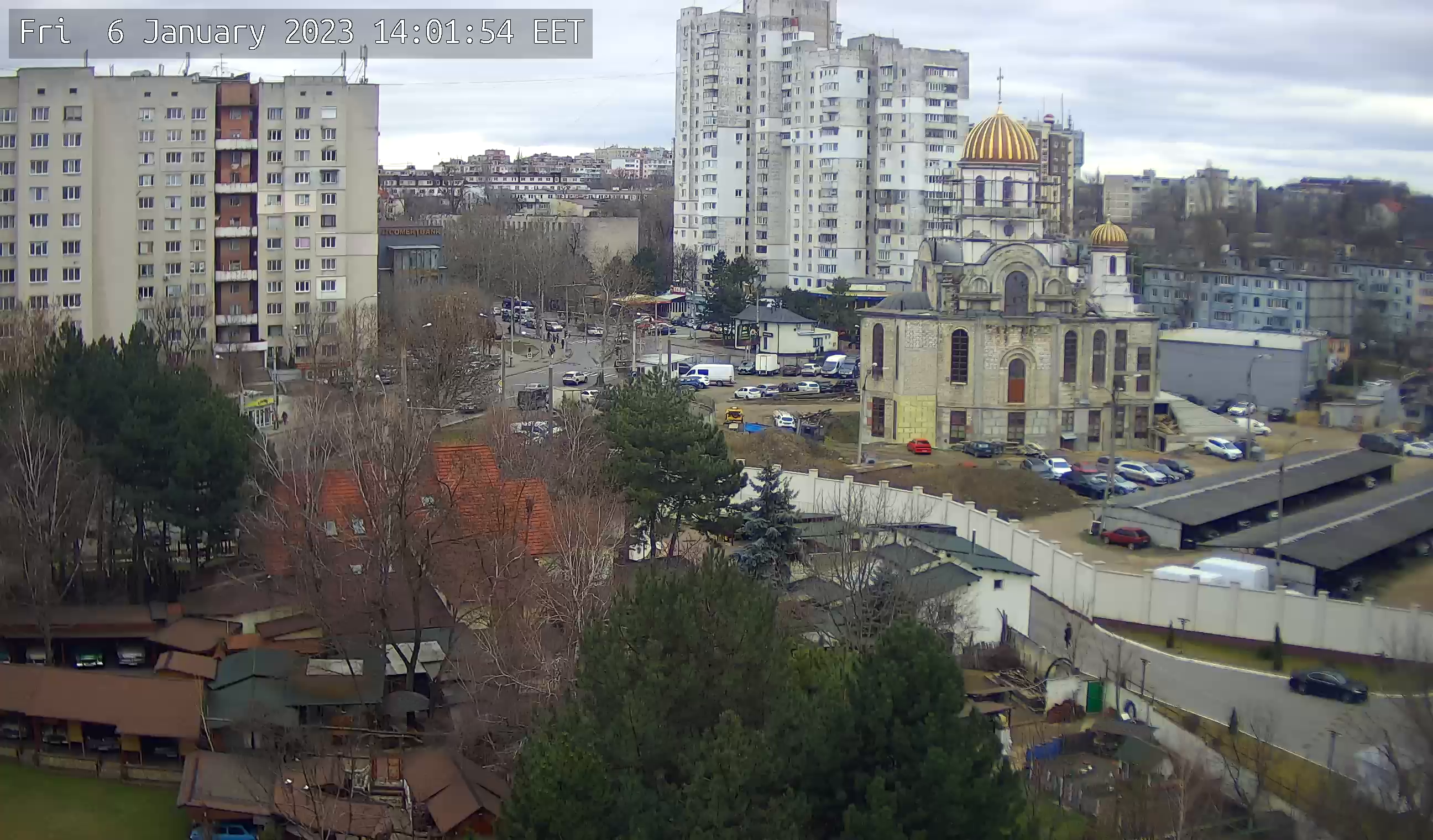
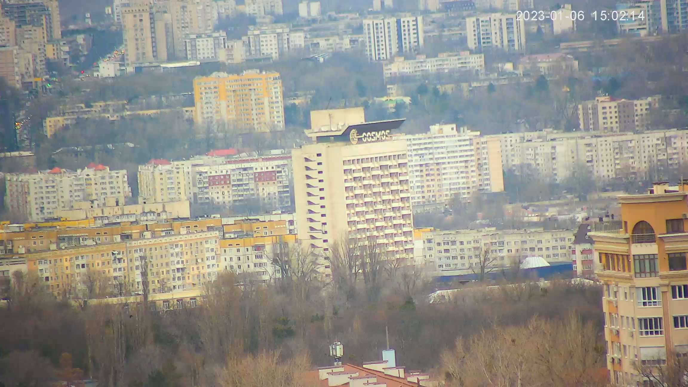
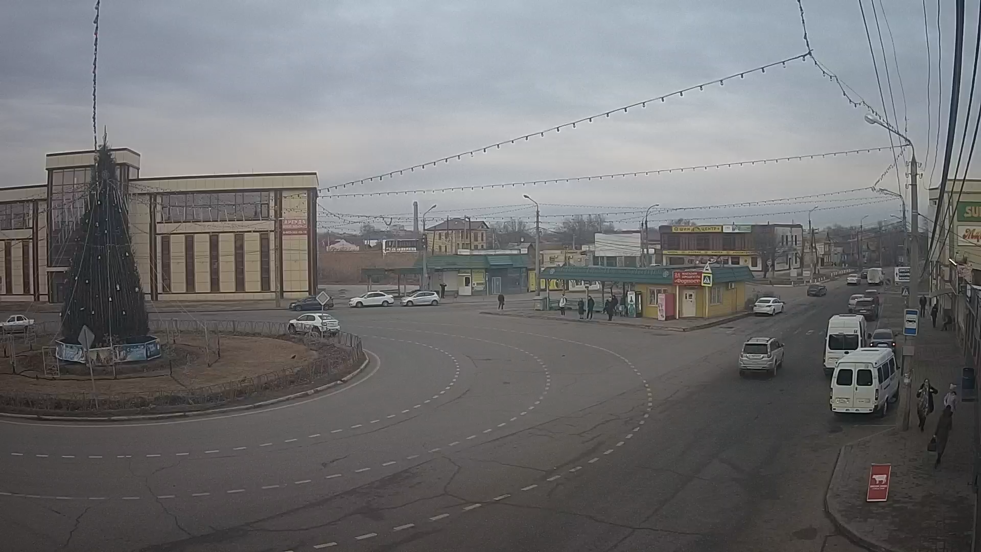
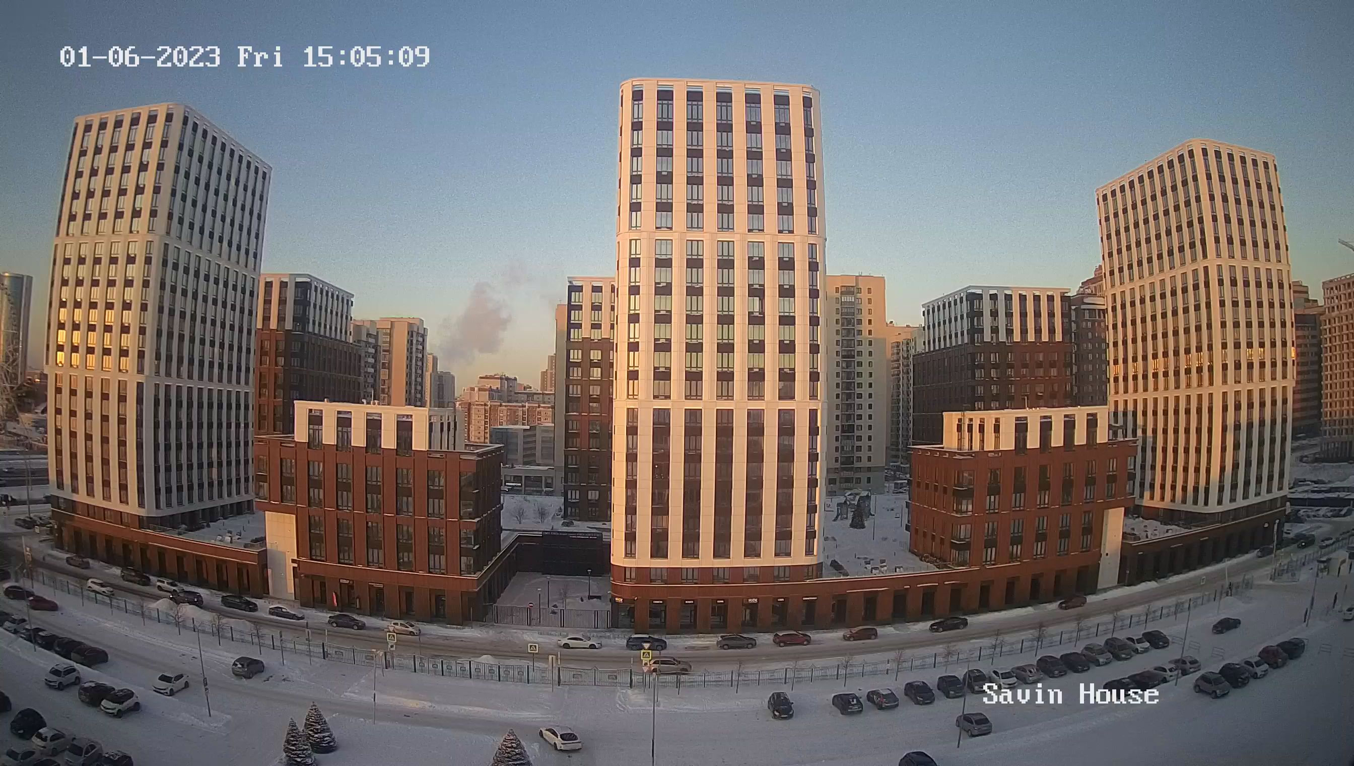
Webcam Lipetsk. M.I. Nedelina Street online in real time
Nedelina Street is a major thoroughfare, running along the border of the Sovetsky and Oktyabrsky districts of Lipetsk. It runs from the junction at the Petrovsky bridge to Victory Square. Crosses Frunze street. The odd side of Nedelina Street is adjacent to 50 years of NLMK, Komsomolskaya and Kotovskogo streets, the even side - to Skorokhodov, 40 years of Soviet Army, Kostenko, Gorky and Pushkin streets.
Today the street is used by drivers as a detour of the central part of the city (bypassing the clogged Sovetskaya and Pervomayskaya streets) when moving from the south or south-west to Novolipetsk and back.
The street has been formed during radical reconstruction of Lipetsk in the 1st half of the 19th century, when the general plan of the city, approved in 1805, was realized. Originally, the street was called Progonnaya, because cattle drove down it. It ran along the border of Lipetsk with Dikinskaya Sloboda, and went beyond Lipetsk to the Stone Log. Transfiguration Church and the pogost, located at it, until the 1930s were outside of Lipetsk, the boundary of which in this area was the marginal street. In the 1930s this area was annexed to the city, and Progonnaya street was included in its entirety.
In 1965, it was named in honor of Chief Marshal of Artillery M.I. Nedelin. Until 1933 it was the boundary of Lipetsk; further on was located Dikinskaya Sloboda. At that time it was the construction of individual houses.
Mass building of the even side of Nedelina Street began in the 1970s. A little later the neighborhood on the odd side began to be built.
In 1981, on Nedelin Street (house number 31) the regional youth library was opened.

