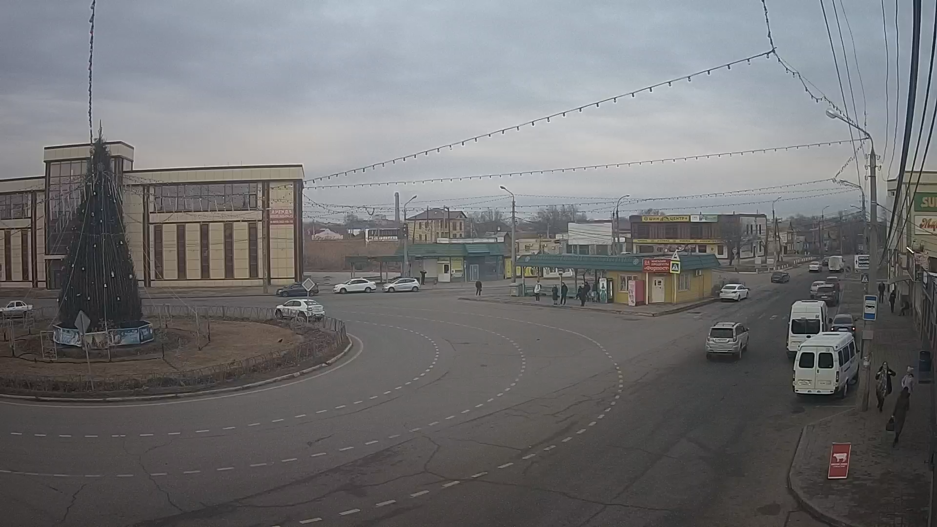
Webcam Olenegorsk. Leningradsky prospect, central square (Murmansk region)
The city of Olenegorsk is located north of the Arctic Circle, 110 kilometers south of Murmansk. It is surrounded by several lakes - Permusozero, Kolozero, Kakhozero, Krugloe, Ploskoe and Uzkoe. Geographically, the city is located almost in the center of the Kola Peninsula. The relief is represented by foothills and low mountains.
The climate is moderately cold. It is hard to believe, but this is a consequence of the influence of the warm Gulf Stream.
By Russian standards, Olenegorsk is a very young city. In comparison to Veliky Novgorod it may be called an infant. On the map of the Murmansk region it appeared in 1949. Like many other towns of the Kola Peninsula, it owes its birth to geologists. In 1932 in Lapland discovered large iron ore deposits. The deposit was named Zaimandrovsky. The town was named after the nearby railway station Olenya.
In fact, people have lived here before. Once upon a time there was a Lappish settlement, Maselga. This is not an archaeological, but a historical fact. The pogost is mentioned in the chronicle, dating back to 1574! Of course, in those days, the locals did not even think of mining iron ore. They were engaged in fishing, hunting and deer breeding. In the middle of the XVI century the Kola post road passed through Maselga from Kandalaksha to Kolu. From that moment the residents got a new "business" - they started their carriage service.
After the end of the war the country needed a lot of metal. In 1949 the construction of an open pit on Olenya hill began. Soon there appeared Olenegorsk mine, which later turned into a large mining and processing plant (GOK). At the same time the new town of Olenegorsk was founded, which received the status of a town in 1957. December 7 is considered its official birthday.
Now the city has about 20 thousand people.

