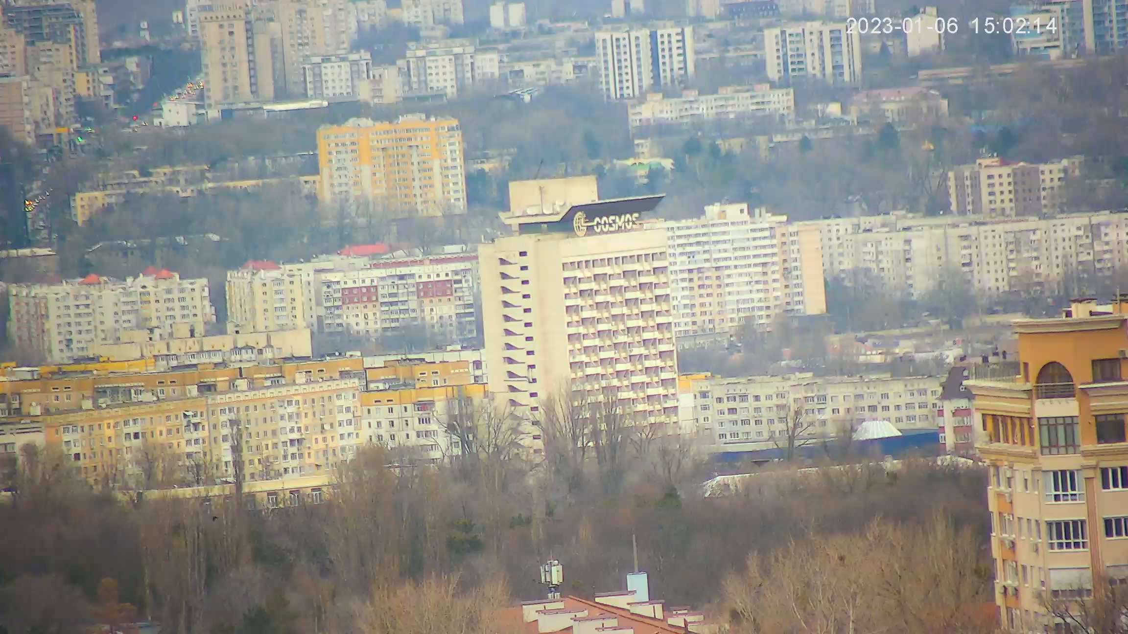
Webcam Tomsk. River station on the Tom River
The Tom is a river in Western Siberia, a right tributary of the Ob. It flows through three subjects of the Russian Federation - Khakassia, Kemerovo and Tomsk regions. The length of the river is 827 km (according to some sources 798 km). altitude difference from the source to the mouth - 1185 m. The source of the Tom is on the territory of Khakassia, on the western slopes of the Abakan range. Most of the Tom River flows through the Kemerovo region, as its main waterway. Mouth of the Tom is located on the territory of the Tomsk region, 45 km from the city of Tomsk. At its mouth the river splits into several channels, forming with the Ob the Pushkarev island.
The source of the Tom is on the territory of the Republic of Khakassia. The river originates on the western slopes of the Abakan range (a mountain range, part of the Western Sayan mountain system) in its northern part, almost at the junction with the Kuznetsk Alatau.
The Tom River has two sources. The source of the Left Tom is formed on the mountain Karlygan (maximum height - 1747 meters). Many brooks flow into a small clear ravine on the southwestern slope of Karlygan, here they merge into a single stream, called the Left Tom.
The source of the Right Tom is the main and longest source of the river Tom. It is formed on Mount Kaskylah (maximum height - 1440 meters). On the southern slope of Kaskylah, at an altitude of 1200 meters is a bog. From this swamp in a spruce and birch grove comes to the surface of the creek, thus the source of the Right Tom is born.
Running down the slopes of the Abakan range the Right and Left Tom, at an altitude of about 903 meters merge into the Tom River. Also, many small rivers and streams flow into the Tom, in the area of its sources, increasing its flow.


