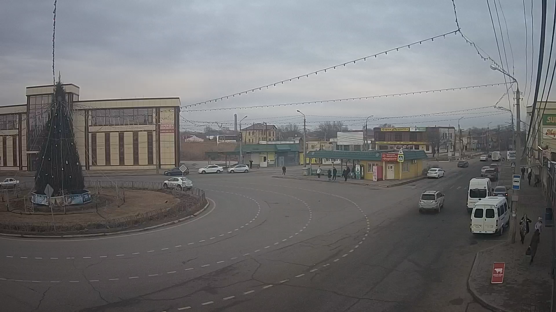
Online camera Cherepovets. Sovetskiy Avenue (Vologda region)
Soviet (Voskresensky) Avenue is a kind of calling card of the city. It is one of the main streets of Cherepovets. It played and continues to play a significant role in the socio-economic and cultural life of Cherepovets. The place where the avenue is located, has a convenient geographical location: at the confluence of the Yagorba and Sheksna rivers. Here at the mouth of the Yagorba River at the beginning of the XX century there was found one of the oldest in the North-West of the primitive man sites, dating back to the VII millennium BC.
After the foundation of the city Voskresensky Trakt became the main street of Cherepovets. Its direction was determined by the Yagorba riverbed.
At the end of the XVIII century and the first third of the XIX century. Voskresensky avenue connected Sobornaya square (now Revolution square) with the church ensemble: Voskresensky cathedral, the Trinity-Sergievsky cathedral and the bell tower, and Annunciation square (now Red Army square) where were located St. John the Baptist and Annunciation churches and the bell tower. The avenue had a total length of about a kilometer.
Currently, the street stretches through Krasnoarmeyskaya square to the railway bridge and has a length of about 2.5 km: through Krasnoarmeyskaya square to the railway bridge and the entrance to the "veneer.


